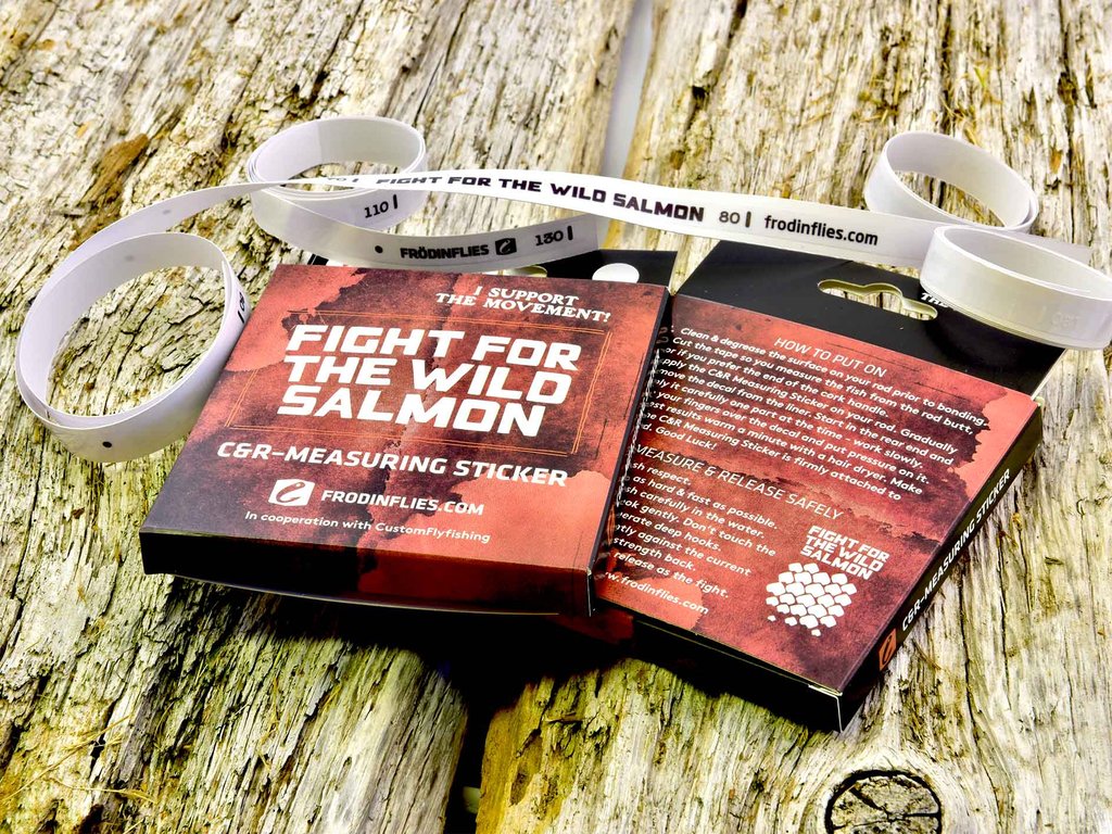
See here for sticker ordering details.
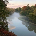
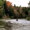
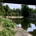
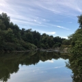
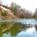
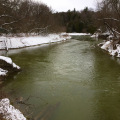
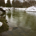
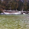
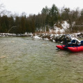
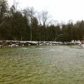
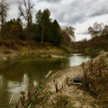
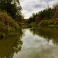
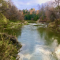
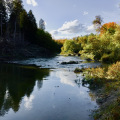
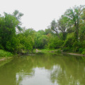
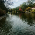
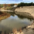
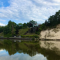
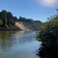
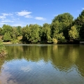
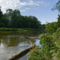
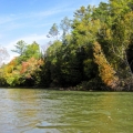
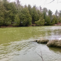
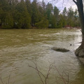
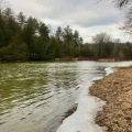
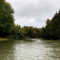
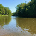
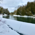
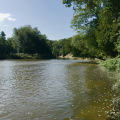
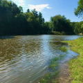
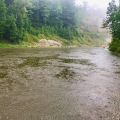
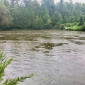
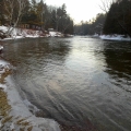
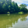
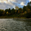
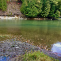
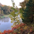
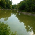
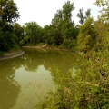
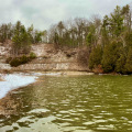
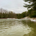
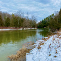
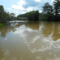
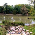
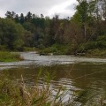
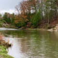
The The Nottawasaga River or “Notty” – Wasaga Beach, Ontario encompasses an area of 3361 square kilometres, comparable in size to that of the Maitland River.
The Nottawasaga River watershed also encompasses 3 counties and 18 municipalities.
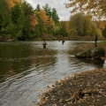
The main branch of the Nottawasaga River is approximately 120 kilometres in length of which 70 kilometres is open to steelhead fishing year round.
Three of the Nottawasaga River tributaries (Mad River, Pine River and Innisfil Creek) are larger than the Bighead River.
The Nottawasaga River provides spawning habitat for many species of fish including rare lake sturgeon which can migrate 70 kilometres upstream.
During the War of 1812, the last remaining British warship “Nancy” was critical in maintaining supply lines to the upper Great Lakes. She was sunk in the Nottawasaga River by U.S. forces and is now a museum in the town of Wasaga Beach. The present day boundaries of Canada are due in part to the Nancy’s defence in maintaining the upper Great Lakes supply lines.
During the early 1800’s the Nottawasaga River was a key lumber river and the boom created a proposed rail and road connection with the city of York (Toronto). Its failure as a sound harbour after a ship from Buffalo scuttled in a storm sealed its fate.
The first Canadian over-seas flight originated from Wasaga Beach on August 8th, 1934. The plane “Trail of the Caribou” landed in Heston, England some 31 hours later.
The Nottawasaga River watershed and adjoining land was formed initially by Pleistocene glacial formation some 20,000 years ago.
Much of the Nottawasaga River bedrock is covered by gravel and glacial sand from the Wisconsin glaciation. This about the time that the unique sand dunes of the area were formed.
Today, 3 chief features define the area the river traverses geologically… The Niagara Escarpment, the Rolling Moraines and the Broad Simcoe Flatlands.
The main bedrock of the valley watershed is shale and limestone between 300 and 400 million years old as evident in the Niagara Escarpment.
The watershed also comprises some 1400 sq hectares of critical wetland, the largest being the Minesing Swamp.
Ground (spring) water is a perfect moderator on the Nottawasaga, cooling the river in the summer and warming it in the winter.
Cold ground water is extremely critical in the support of rainbow trout nursery habitat on the Nottawasaga
1,940 farms involving 150,000hectares are in the watershed.
Population in the watershed is over 120,000 (1/4 of this is from the City of Barrie). This population is expected to increase to over 250,000 in the next 15-20 years. The Town of Wasaga Beach is expected to climb to over 20,000 in the next 5-7 years from its present population.
Tributaries:
- McIntyre Creek; The Nottawasaga River or “Notty” – Wasaga Beach, Ontario
- Little Marl Creek; The Nottawasaga River or “Notty” – Wasaga Beach, Ontario
- Marl Creek; The Nottawasaga River or “Notty” – Wasaga Beach, Ontario
- Willow Creek;
- Mad River; The Nottawasaga River or “Notty” – Wasaga Beach, Ontario
- Bear Creek; The Nottawasaga River or “Notty” – Wasaga Beach, Ontario
- Pine River; The Nottawasaga River or “Notty” – Wasaga Beach, Ontario
- Boyne River;
- Innisfil Creek;
- Sheldon Creek.
See here to visit The Nottawasaga Steelheaders website.
We are the leading provider of Fly Fishing Lessons, Corporate Team Building, and Guiding on the Upper Grand River, the Upper Credit River, and the Conestogo River.
No Guelph, Fergus, Kitchener or Cambridge Fishing Tackle Retailer will boast as complete and diverse a store inventory, including a vast selection of Centerpin / Float Fishing Reels, Rods, Clothing and Accessories.
Order a HLS or TFC Gift Card – We will put one in the mail for FREE!
Fly Shop Flyshop Flyfish Grand River Fly fish Grand River Guide Grand River Lesson Grand River Fergus Ontario Canada


